
Professional Northern Lights guides predict optimal viewing conditions by monitoring solar activity data, weather patterns, and atmospheric conditions in real time. They combine scientific forecasting tools with local knowledge of microclimates and regional weather patterns. This expertise allows guides to select the best viewing locations and timing, creating a once-in-a-lifetime experience for aurora seekers. Understanding these prediction methods helps visitors appreciate the skill behind successful Northern Lights tours.
What factors do Northern Lights guides use to predict aurora activity?
Northern Lights guides monitor solar wind speed, density, and magnetic field orientation alongside the Kp index, which measures geomagnetic activity on a scale of 0–9. Cloud cover forecasts and moon phases also significantly influence viewing conditions.
The solar wind carries charged particles from the sun that interact with Earth’s magnetic field to create auroras. Guides track solar wind data from spacecraft positioned between Earth and the sun, looking for increases in particle density and speed. When solar wind speed exceeds 400 kilometres per second and carries a southward-pointing magnetic field, aurora activity typically intensifies.
The Kp index serves as the primary aurora activity indicator. Values of 0–2 indicate quiet conditions with limited aurora visibility, while Kp 3–4 suggests moderate activity visible in northern regions. Kp 5 and above signals strong geomagnetic storms that can produce auroras visible much further south than usual.
Cloud cover predictions determine whether auroras will be visible from the ground, regardless of geomagnetic activity levels. Guides study satellite imagery and weather models to identify clear-sky windows. Moon phases affect visibility differently: a new moon provides the darkest skies for faint auroras, while a full moon can illuminate the landscape beautifully when auroras are bright enough to compete with moonlight.
How do guides read weather patterns for Northern Lights viewing?
Experienced guides analyse cloud formation patterns, temperature gradients, and wind directions to predict local weather changes. They interpret atmospheric pressure systems and precipitation forecasts to identify clear viewing windows throughout the night.
Cloud formation analysis involves understanding how different cloud types develop and move across the region. High-altitude cirrus clouds often indicate approaching weather systems, while low stratus clouds can form quickly in temperature inversions. Guides learn to recognise weather patterns that typically bring clear skies, such as high-pressure systems moving in from specific directions.
Temperature considerations extend beyond comfort levels. Rapid temperature drops can create ground fog, while temperature inversions may trap moisture near the surface. Guides monitor temperature forecasts at different altitudes to predict visibility conditions throughout the evening.
Wind pattern assessment helps guides understand how weather systems will develop and move. Strong winds often indicate unstable conditions that can bring sudden cloud-cover changes. Conversely, light winds under high pressure typically maintain stable, clear conditions ideal for aurora viewing.
Precipitation timing affects not only immediate visibility but also residual cloud cover. Guides study radar imagery and precipitation forecasts to identify when snow or rain will clear, leaving behind the crisp, clear skies perfect for aurora photography and observation.
What tools and resources do professional aurora guides rely on?
Professional guides use specialised websites like SpaceWeather.com and Aurora Service, mobile apps such as Aurora Alerts, and real-time satellite imagery. They also monitor local weather stations and maintain networks with other guides for ground-truth observations.
Specialised forecasting websites provide detailed solar wind data, magnetometer readings, and auroral oval predictions. These platforms offer multiple forecast models and historical data that help guides understand developing trends. Many sites update every few minutes during active periods, allowing guides to track rapidly changing conditions.
Mobile applications enable guides to monitor conditions while in the field. These apps typically combine multiple data sources into user-friendly interfaces, sending push notifications when conditions improve suddenly. Some apps include camera-setting recommendations and compass features for optimal aurora photography.
Satellite imagery from polar-orbiting and geostationary satellites shows real-time cloud cover and atmospheric conditions. Guides use both visible and infrared imagery to track cloud movements and identify clear patches that may not appear in standard weather forecasts.
Local weather station networks provide ground-level data that complements broader forecasts. Many guides maintain relationships with meteorological services and other local guides, sharing real-time observations about visibility, aurora activity, and road conditions. This collaboration creates a comprehensive monitoring system that enhances prediction accuracy.
How far in advance can Northern Lights activity be accurately predicted?
Aurora activity can be predicted with reasonable accuracy 1–3 days in advance, with the greatest precision within 24–48 hours. Longer-term forecasts become increasingly unreliable due to the complex nature of solar wind interactions and Earth’s magnetic field responses.
Short-term predictions within 24–48 hours achieve the highest accuracy because solar wind monitoring spacecraft provide real-time data about conditions approaching Earth. These spacecraft, positioned about 1.5 million kilometres sunward, give roughly one hour’s advance warning of incoming solar wind changes. Combined with current geomagnetic conditions, guides can make confident predictions about aurora activity levels.
Seasonal patterns help with longer-term planning, though they cannot predict specific aurora events. The equinoxes in March and September typically show increased geomagnetic activity due to optimal angles between solar wind magnetic fields and Earth’s magnetosphere. Aurora season in northern Finland generally runs from late August through early April, when nights are sufficiently dark.
Weather prediction reliability decreases significantly beyond three days, making aurora viewing forecasts less dependable for longer periods. While solar activity follows an 11-year cycle, individual aurora events result from unpredictable solar phenomena like coronal mass ejections and solar wind speed variations.
Professional guides often work with flexible itineraries, monitoring forecasts continuously and adjusting plans within 24–48 hours. This approach maximises the chances of experiencing that once-in-a-lifetime experience of witnessing the aurora borealis in optimal conditions.
Why do local Lapland guides have better prediction accuracy?
Local Lapland guides understand regional microclimates, seasonal weather patterns, and optimal viewing locations developed through years of field experience. They recognise subtle environmental cues and maintain extensive knowledge of how global forecasts apply to specific local conditions.
Microclimate understanding proves crucial because weather conditions can vary dramatically across relatively small distances in northern Finland. Guides know which valleys tend to develop fog, which hilltops remain clear during marginal conditions, and how local topography affects wind patterns and cloud formation. This knowledge allows them to find clear skies even when general forecasts suggest poor visibility.
Years of field experience teach guides to recognise environmental indicators that supplement scientific forecasts. They notice how certain cloud formations develop, understand which wind directions typically bring clear weather, and can assess atmospheric stability through subtle visual cues. Local wildlife behaviour, such as fox activity patterns, can even provide insights into changing weather conditions.
Familiarity with multiple viewing locations enables guides to adapt quickly when primary sites become cloudy. They maintain detailed knowledge of dozens of potential viewing spots, understanding the driving times, accessibility, and optimal viewing directions for each location. This flexibility allows them to relocate groups efficiently when conditions change.
Local guides also develop networks with other professionals, meteorologists, and long-term residents who share observations and insights. This collaborative approach creates a comprehensive understanding of regional weather patterns that extends far beyond what any individual could achieve alone. When combined with modern forecasting tools, this local expertise significantly improves prediction accuracy and success rates for Northern Lights viewing experiences.
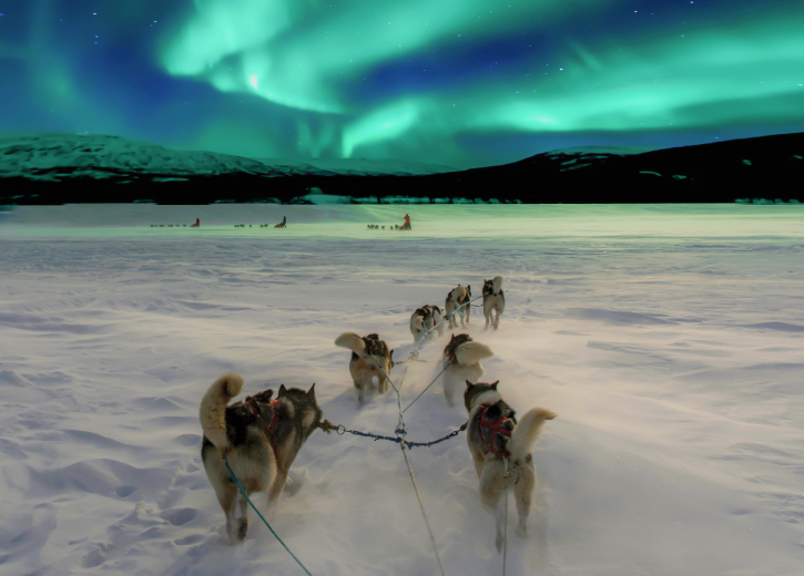
Experience the Magic of Northern Lights Activities
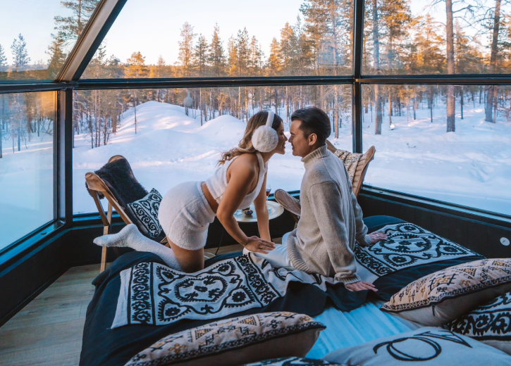
Ready to witness the breathtaking aurora borealis with expert guidance? Professional Northern Lights tours combine scientific prediction methods with local expertise to maximise your chances of experiencing this natural wonder. From snowshoe expeditions under dancing lights to cozy glass igloos with panoramic views, there are numerous ways to enjoy the aurora in comfort and style.
Discover our complete range of Northern Lights activities and let experienced guides help you create unforgettable memories under the Arctic sky. Each activity is carefully planned using the prediction methods described above, ensuring you have the best possible opportunity to witness nature’s most spectacular light show.